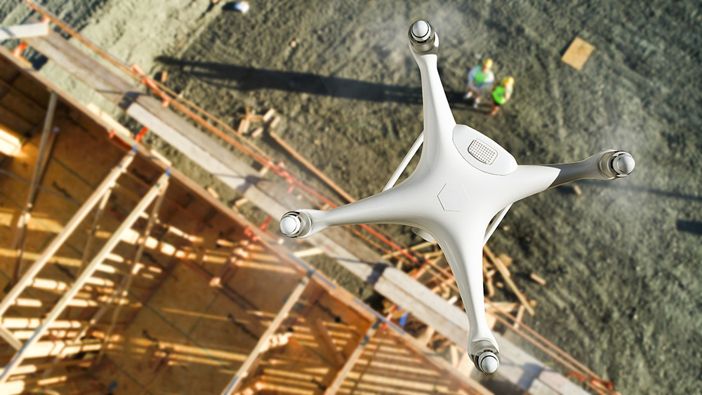
Drone photogrammetry
Our drone photogrammetry services document land, buildings and construction sites through aerial images and digital processing. We work with contractors, engineers and architecture practices in Madrid and across Spain.
We define intended data use, area and deliverables with you: orthophotos, point clouds or 3D models according to the project. Request a technical proposal.

AERIAL PHOTOGRAMMETRY AND 3D RECONSTRUCTION
Data and models for your project
Photographs planned for photogrammetric reconstruction are processed into a digital representation according to the contracted scope. Resolution, reference system and delivery formats are agreed before capture.
How does it differ from aerial photography? Construction photography provides images for documentation and communication. Photogrammetry plans and processes images to generate data or models with specific requirements.
Capture planning
We review location, area and purpose. Detail level, georeferencing and controls are defined for the intended data use.
Deliverables defined from the start
Tell us whether you need orthophotos, a point cloud, 3D model or another result, and which software you will use. Formats and scope are agreed before quoting; a point cloud is not automatically a BIM model.
Viewing and delivery of results
We define how your team will receive and consult the data. Online viewing, private sharing and phased delivery can be included in the assessment.
Solutions for construction, engineering and architecture
Our photogrammetry workflow
1. Define the purpose. Explain whether you need to document works, represent a building, study land or compare phases. We review area, points of interest, deadlines and software.
2. Plan capture. We assess flight feasibility, access, lighting and visibility. Detail level is agreed and, for measurements, the necessary georeferencing method and controls.
3. Process and review. We prepare the agreed deliverables and viewing arrangements. Recurring surveys should maintain compatible capture and reference criteria.
Technical capture can combine with construction progress video or time-lapse, coordinating technical and communication needs.
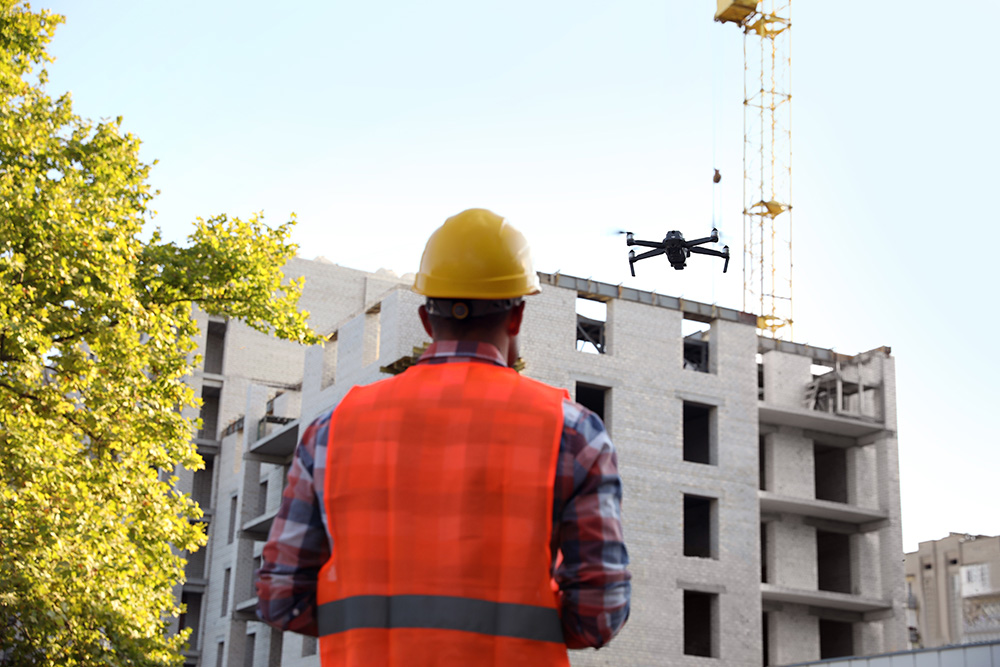
Applications in construction and architecture
A photogrammetric record allows teams to consult a site’s condition and share information. Depending on scope, it can support phase documentation, building representations or studies of surfaces and volumes.
Different uses require different accuracy and deliverables. Explain the decisions the data will support so we can assess capture and processing.
Photogrammetric technology for engineering, buildings and industry
Capture and processing
Planning reflects area, terrain, obstructions and required detail. We assess light, weather and environmental limitations. Processing and review are geared towards final data use.
What accuracy can be achieved? It depends on capture, georeferencing and result checks. Image resolution alone does not guarantee measurement accuracy: requirements must be defined beforehand.
The Acciona windmill-restoration video shows our heritage video-production experience. It is a filmmaking reference, not evidence of photogrammetric survey accuracy.
Surfaces and volumes
For stockpiles, excavations or earthworks, explain what you need to measure and the tolerance required. We need the reference area and access and visibility conditions.
Measurement scope and verification are agreed before capture. Calculated volume is not directly equivalent to material weight: estimating mass requires additional data such as density.
Coordinating fieldwork
We review location requirements and coordinate with the premises manager. Access, schedules and measures are agreed to make capture compatible with the client’s activity.
Planning depends on flight feasibility and weather. For process documentation used in communications, explore comprehensive construction audiovisual coverage. The Valdebebas video in this section is a construction filmmaking reference.
Photogrammetry quote
Send the location, approximate area and purpose. Specify deliverables, expected date and any accuracy, coordinate-system or software-format requirements.
We use this information to assess capture feasibility and prepare a drone photogrammetry proposal suited to the project.
Construction-sector clients
Clients in construction, architecture and real estate